The Beginning
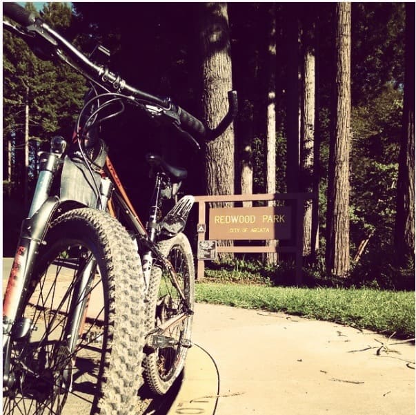
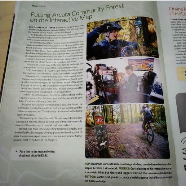
Everything began during an internship at Arcata, CA - USA, a lovely northwestern small town located in Humboldt County and aproximatelly one hour away from the Oregon border. During his time there our chief of technical operations (CTO) and co-founder Joao Paulo Curti got engaged with the local community and started to fall in love with Arcata's most precious pearl, the Arcata Community Forest.
Since then he made his capstone project about an interactive trail map of the forest and its features, not only to retribute to the forest all the good moments it provided to him but also to try to leave a legacy to the city, however it went far beyond he could imagine.
Getting Attention
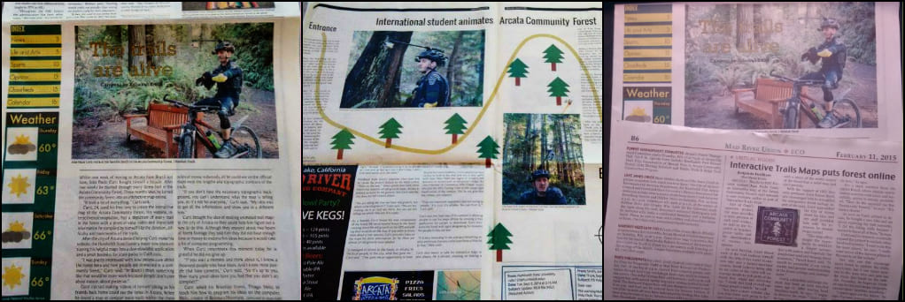
The interactive trail map got popularity, attention and also curiosity from the local community. Quickly an article from The Lumberjack, popular students newspaper, popped up showing his work to most of the students followed by Humboldt State Now article and town's newspaper "Mad River Union" also.
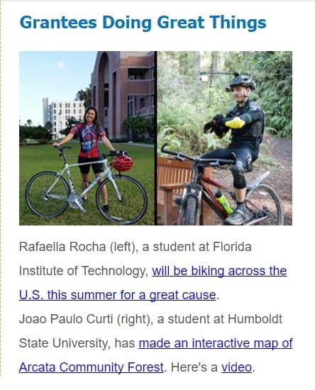
So far the project got well known by the local community and started to be used to help people out gathering information and planning their trip when going for a forest adventure. Even the Intitute of International Education (IIE) mentioned the project at its "Boletim Mensal".
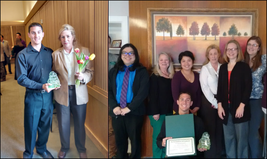
Joao Paulo Curti was nominated under "Community Services" and "Outstanding Research" to the Humbold State University (HSU) award ceremony, winning the prize for "Outstanding Research".
Adding a Business Touch
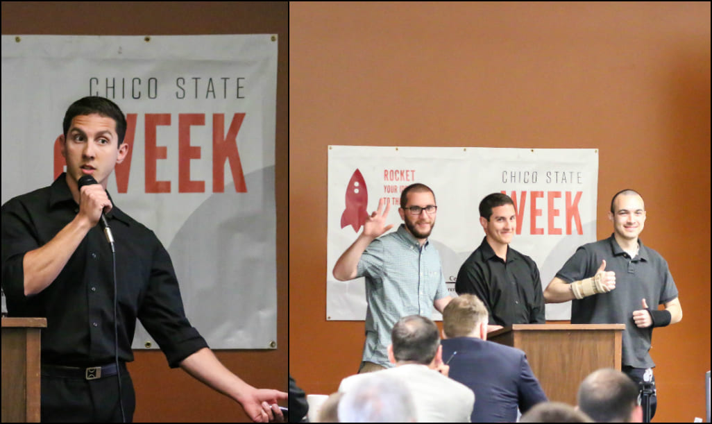
After getting attention and recognition from the local community it was time to step even further and represent HSU at 4 Future Business Competition hosted in Chico State University at Chico, CA.
This time we did not bring a prize back home but the experience was definitely crucial to open our eyes and give the project a business shape it did not have so far.
Reaching the Top
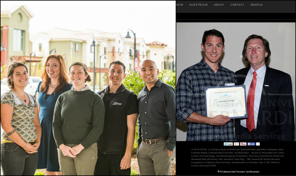
Having the capstone presented, articles published and awards earned it shifted into a research project, the interactive trail map stepped up to a new level and got submitted and approved represent HSU and compete at 29th Annual California State University (CSU) Studente Research Competition which was hosted in San Bernardino, CA.
Competing as "creativity" project under the category "Humanities and Letters, Creative Arts and Design, and Interdisciplinary (Graduate and Undergraduate)" the Interactive Trail Map project beated the competitors and won first place, receiving the prize from Jeffrey Thompson, Dean of CSU San Bernardino.
Rising as a Startup
Now after returning to Brazil Joao Paulo Curti gathered key partners and turn his project into a Startup project colled T Maps, giving it a whole new perspective and horizons to look at. Currently we are incubated at Sorocaba's Tech Park (Parque Tecnologico Sorocaba).
With our technology we intend to change the concept of interactive maps and the way people use it, bringing to parks and users a brand new expecience and reaching another level of entertaiment and info access.
Step by step T Maps aim to build a smart park concept where the technology will merge sustainability, accessibility and preservation for the good of the people and the nature.
Our Values
T Maps stands for all causes that help to promote:
- 1. Sustainability
- 2. Conservation
- 3. Equity
- 4. Empaty
- 5. Smart Technology
- 6. Green solutions
- 7. Education
We believe that by promoting those values we are on the righ track towards a brigther future where science can continue to improve people's lives more and more.
The perfect purity of the air, the unequaled beauty of the sky, the imposing sight of a high mountain range, the quiet and restfulness of the place—all around contributed to make the conditions for scientific observation ideal. - Tesla, N.
